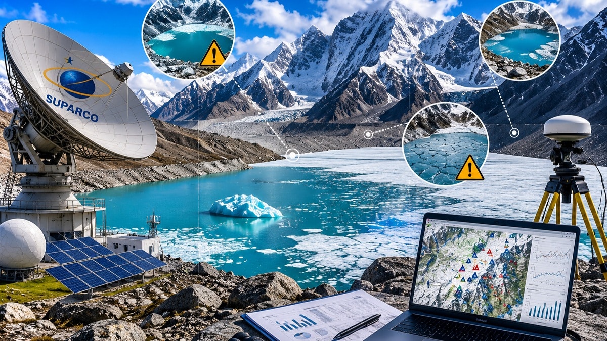
Precision satellite monitoring by Pakistan’s Space and Upper Atmosphere Research Commission (SUPARCO) has identified 130 dangerous glacial lakes across the nation’s northern highlands. This systematic assessment provides a calibrated baseline for climate resilience, utilizing high-resolution imagery captured between May 31 and June 1, 2026. Consequently, officials have confirmed that 24 of these identified lakes are currently unfrozen, requiring immediate and continuous surveillance to prevent potential Glacial Lake Outburst Floods (GLOFs).
Strategic Intelligence for Climate Resilience
The mission utilizes architectural-grade satellite mapping to assess geographical vulnerabilities and pinpoint populations at risk. Strategically, SUPARCO integrates its data with the Provincial Disaster Management Authority (PDMA) of Khyber Pakhtunkhwa and the Gilgit-Baltistan Disaster Management Authority (GBDMA). This collaborative framework ensures that technical data translates into actionable safety protocols for mountain regions.
Furthermore, the current monitoring cycle focuses on these critical data points:
- Real-time Thaw Tracking: Monitoring 24 unfrozen lakes for structural integrity.
- Data Integration: Merging satellite imagery with local disaster management reports.
- Vulnerability Mapping: Identifying downstream communities in the direct path of potential floodwaters.
The Translation: Interpreting GLOF Dynamics
In technical terms, a Glacial Lake Outburst Flood (GLOF) occurs when the natural dam containing a glacial lake fails. SUPARCO’s role is to convert complex satellite telemetry into a “Next Gen” clarity that authorities can use. Instead of waiting for physical signs of breach, engineers analyze thermal signatures and water volume increases from space. This proactive logic allows for a strategic lead time that was previously impossible without precision aerospace assets.
The Socio-Economic Impact: Protecting Northern Livelihoods
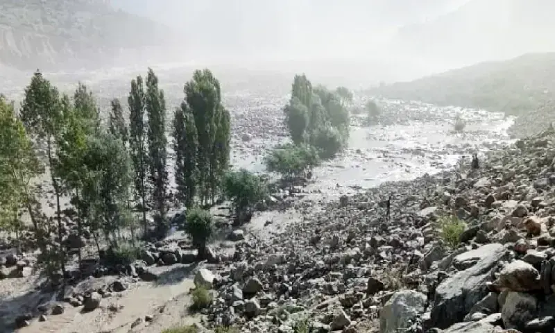
How does this change the daily life of a Pakistani citizen? For families in Gilgit-Baltistan and Khyber Pakhtunkhwa, this data represents a structural safety net. Accurate identification of dangerous glacial lakes prevents the sudden destruction of homes, schools, and agricultural land. Moreover, it stabilizes the local tourism economy by providing a more predictable safety environment for professionals and travelers alike, ensuring that mountain infrastructure remains a viable catalyst for regional growth.
The Forward Path: A Momentum Shift in Climate Intelligence
This development represents a significant Momentum Shift for Pakistan’s climate strategy. We are moving away from reactive disaster response and toward a model of precision governance. By leveraging SUPARCO’s aerospace capabilities, Pakistan is building a structural defense against the volatility of global warming. This is not merely a stabilization move; it is the implementation of a high-tech early warning system that serves as a cornerstone for national safety.


