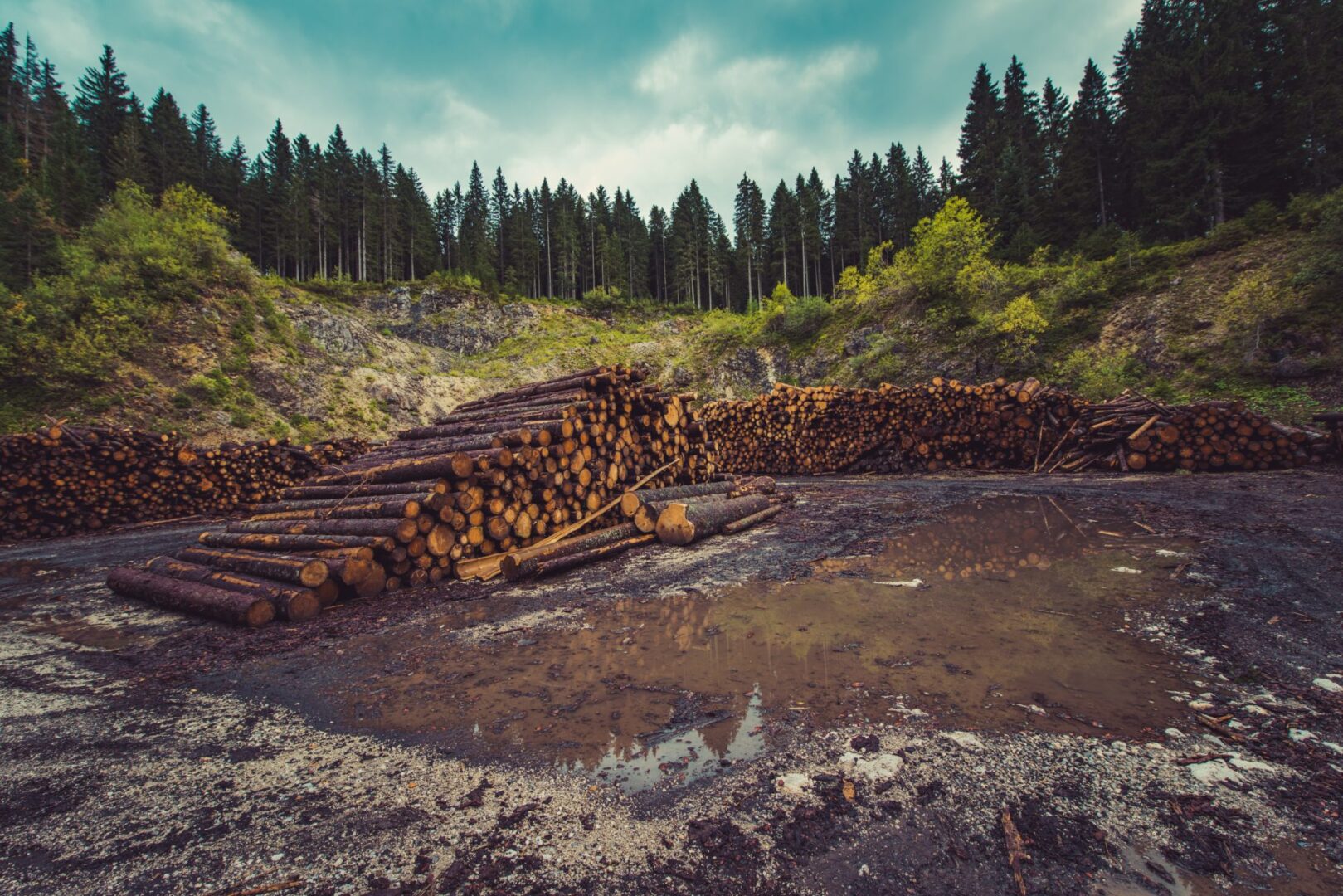
National advancement requires a precise baseline of our natural resources, yet recent data indicates a significant structural failure in forest preservation. High-resolution satellite imagery has exposed a massive KP deforestation drive in Upper Dir, where approximately 66.58 hectares of natural forest cover disappeared between 2019 and 2026. This data-driven revelation from Space4Climate highlights a calibrated depletion of tree cover across 13 hotspot locations near Jatkool village in the Sheringal area.
The Technical Scale of KP Deforestation
The transition from dense green cover to bare land represents a strategic threat to the region’s ecological stability. Consequently, the analysis of these multi-temporal images shows that the terrain in 2026 is significantly more exposed than the baseline recorded in 2019. This sustained tree cutting in one of Pakistan’s most forest-rich regions suggests that current protection protocols are insufficient to mitigate illegal logging operations.

Furthermore, the conversion of natural forest into bare soil accelerates secondary environmental hazards. Experts identify that this shift increases the probability of landslides and worsens soil erosion across the province. The loss of 66.58 hectares is not merely an isolated incident; rather, it is a catalyst for broader biodiversity loss and habitat destruction.
The Situation Room: Analysis
The Translation (Clear Context)
In simple terms, “hotspot locations” are specific zones where illegal logging or land clearing is most active. While forest management often relies on manual patrolling, satellite technology provides an unblinking eye that exposes the gap between policy and reality. The “bare soil” mentioned signifies that the land has lost its biological shield, making it vulnerable to extreme weather events.
The Socio-Economic Impact
For the average Pakistani citizen, particularly in KP, this environmental degradation translates into direct economic risks. Deforestation disrupts local water tables, leading to water scarcity for agriculture and households. Additionally, increased landslide risks directly threaten the safety of infrastructure and mountain communities, potentially displacing families and driving up provincial disaster management costs.
The Forward Path (Opinion)
This development represents a Stabilization Move that is failing. To achieve a true Momentum Shift, Pakistan must integrate real-time satellite monitoring into its judicial and law enforcement frameworks. We must move beyond passive reporting and implement automated alerts that trigger immediate tactical interventions when tree cover shifts are detected. Precision technology is the only tool capable of outpacing the speed of illegal logging.
Ultimately, the depletion of scarce natural forest cover undermines our climate resilience. Therefore, we must treat forest protection as a matter of national security. As the data shows, the current rate of depletion requires an urgent recalibration of our environmental protection strategies to ensure long-term system efficiency.