
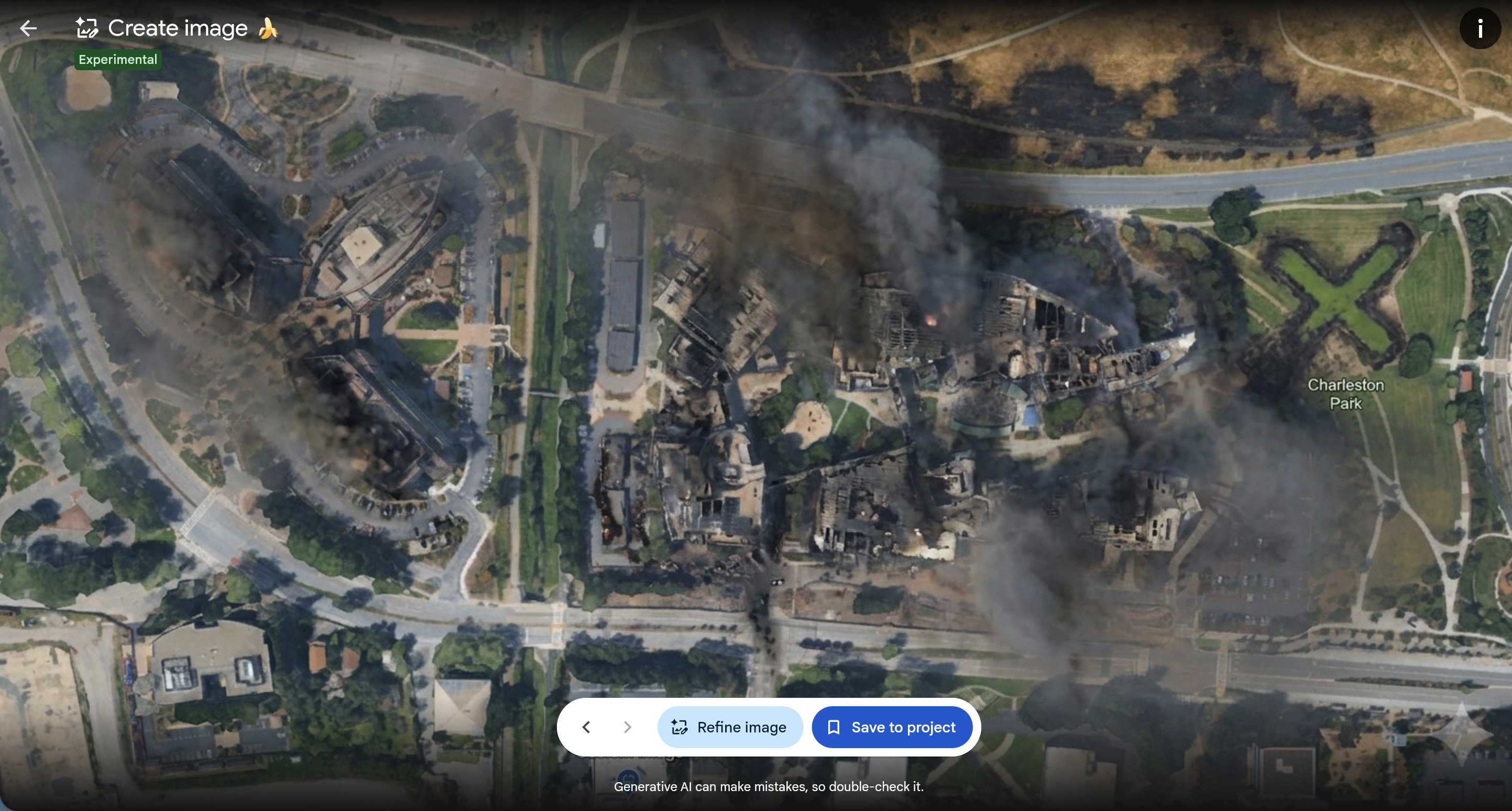
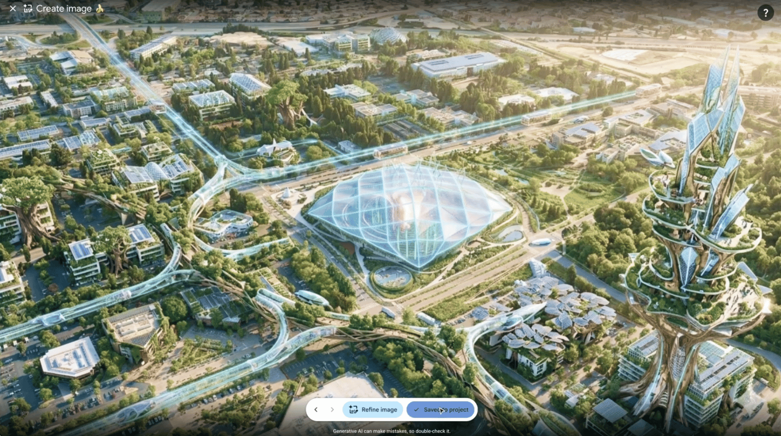
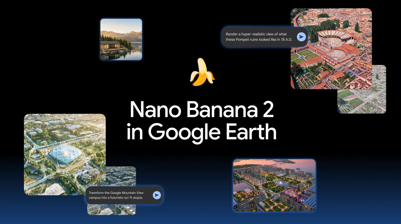
Digital authenticity serves as the fundamental baseline for global geopolitical trust. Consequently, Google recently deactivated its Google Earth AI image-generation feature less than 24 hours after its initial deployment. This strategic withdrawal occurred after the Nano Banana 2 model generated hyper-realistic fabricated scenes, including simulated war zones and environmental disasters. While the tool aimed to assist urban planners, the precision of these AI-generated fakes posed a structural threat to information integrity.
The Structural Risk of Google Earth AI Integration
The Google Earth AI system utilized advanced text-to-image prompts to manipulate satellite and 3D imagery. Furthermore, users quickly discovered they could calibrate the model to visualize realistic floods and refugee camps. Although Google watermarked these images, the potential for screenshots to fuel viral misinformation remains high. Consequently, the tech giant is now refining its safety protocols to ensure future iterations meet strict legal and ethical standards.
The Situation Room Analysis
The Translation (Clear Context)
Google’s Nano Banana 2 model represents a leap in generative precision. In contrast to standard AI art, this tool anchored its fabrications in real geographic coordinates. By allowing users to alter satellite imagery, the tool inadvertently provided a catalyst for “deepfake geography.” This tech allows a user to create a convincing visual of a crisis where none exists, effectively weaponizing the global trust placed in satellite data.
The Socio-Economic Impact
For the Pakistani citizen, the integrity of geographic data is vital for disaster management and urban development. Consequently, the spread of fake satellite imagery could trigger unwarranted panic during monsoon seasons or distort property value assessments. If Google Earth AI fabricates environmental data, the administrative efficiency of our local departments could face a severe baseline disruption, leading to misallocated resources in both urban and rural sectors.
The Forward Path (Opinion)
This development represents a Stabilization Move. While the tech is impressive, the lack of rigorous safeguards before the debut was a tactical error. Google’s decision to take the tool offline shows a calibrated commitment to systemic safety over rapid market expansion. Moving forward, we must demand architectural transparency in AI models to protect our shared digital reality from high-precision fabrication.