Imminent Westerly Wave: A New Pakistan Weather Advisory
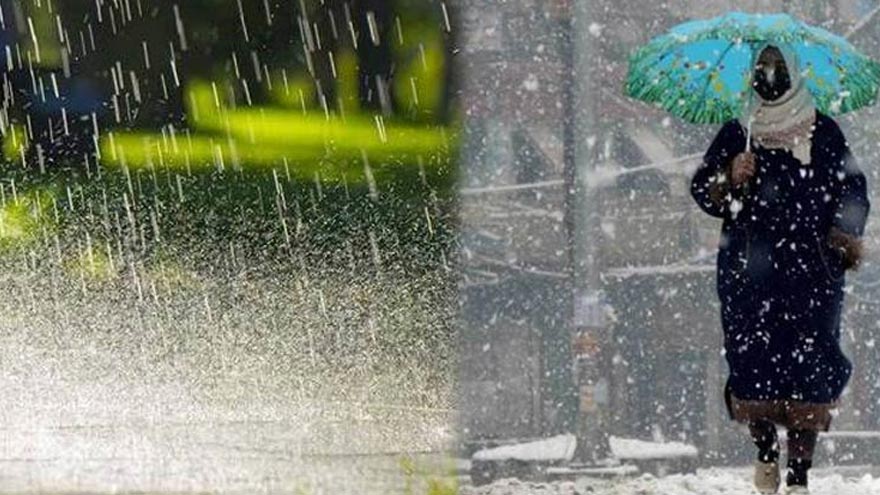
Pakistan anticipates a significant winter weather event. A shallow westerly wave will approach the upper regions, commencing from the evening of January 16th. This system is expected to continue with occasional breaks until January 19th. Consequently, meteorological experts predict a strengthening of this weather pattern by January 20th, impacting most parts of the country by January 21st. Furthermore, the National Disaster Management Authority (NDMA) has issued a comprehensive Pakistan Weather Advisory. This alert urges both the public and relevant authorities to take necessary precautions. The forecast indicates widespread rain-wind/thunderstorms and moderate to heavy snowfall across various regions. Ultimately, this may lead to disruptions and a notable drop in temperatures.

Northern Areas Brace for Significant Snow and Rain
Northern Pakistan anticipates substantial weather changes. Specifically, Gilgit-Baltistan and Kashmir will experience rain-wind/thunderstorms. These regions, from January 16th evening to January 19th, will also see light to moderate snowfall. Key areas include:
- Gilgit-Baltistan: Diamir, Astore, Ghizer, Skardu, Hunza, Gilgit, Guanche, Shigar
- Kashmir: Neelum valley, Muzaffarabad, Poonch, Hattian, Bagh, Haveli
Similarly, upper Khyber Pakhtunkhwa faces comparable forecasts. This includes Chitral, Dir, Swat, Kalam, Shangla, Kohistan, Battagram, Mansehra, Abbottabad, Haripur, and Bunner. Furthermore, popular hill stations such as Murree and Galliyat will receive light rain and snow between January 18th and 20th. However, heavy snowfall is expected from the night of January 20th to January 23rd, with occasional breaks. Therefore, residents and tourists must exercise extreme caution in these areas. Consider postponing non-essential travel.
Widespread Rain and Thunderstorms for Central & Southern Areas
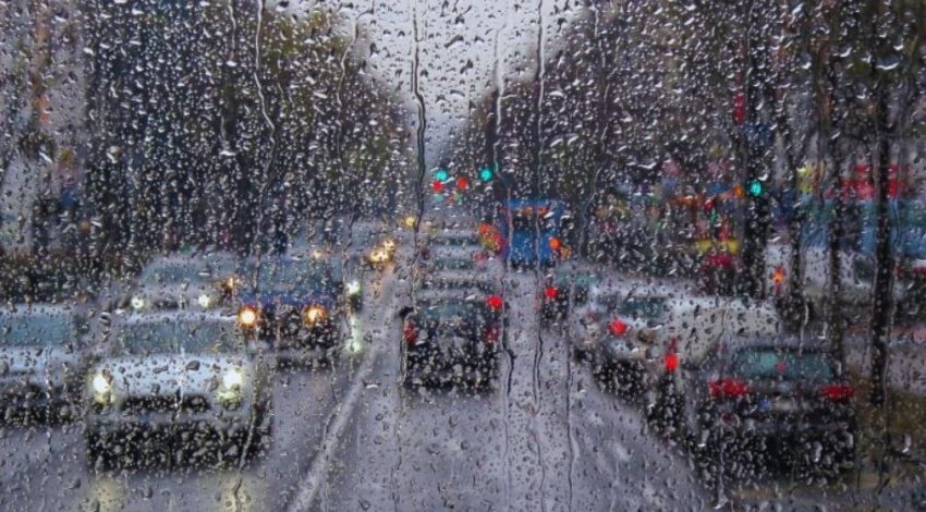
The intensifying westerly wave will bring widespread rain-wind/thunderstorms from January 20th to January 23rd. This system affects a broad swathe of the country. Notably, it includes Gilgit Baltistan, Kashmir, Murree, Galliyat, Islamabad, and the Potohar region. Additionally, major districts across Punjab, such as Sargodha, Lahore, Multan, and Faisalabad, will experience this weather. Therefore, residents should prepare for significant downpours.
Furthermore, various divisions in Khyber Pakhtunkhwa, including Peshawar, Hazara, Malakand, and Kohat, are slated for widespread rain-wind/thunderstorms during this period. The sustained rainfall, coupled with strong winds, could cause local disruptions. Consequently, citizens are advised to secure loose outdoor items and remain aware of potential waterlogging in low-lying areas. Diligent preparation is key.
Balochistan and Sindh: Rain and Snow Forecast
The weather system will also extend its influence to Balochistan on January 21st and 22nd. It will bring rain-wind/thunderstorms to numerous areas. These include Quetta, Ziarat, Chaman, Pishin, Qilla Abdullah, and Zhob. Furthermore, moderate to heavy snowfall is anticipated in the higher altitudes of Balochistan. Specifically, expect snow in Quetta, Ziarat, Chaman, and Zhob.
Similarly, Sindh is on alert for rain-wind/thunderstorms on January 22nd and 23rd. Cities and districts like Karachi, Hyderabad, Dadu, Jacobabad, and Larkana are expected to experience these conditions. Consequently, the NDMA emphasizes the crucial need for preparedness. This is especially vital for residents in vulnerable areas. Stay informed about this developing Pakistan Weather Advisory.

Public Safety: Your Pakistan Weather Advisory Guide
Considering the widespread nature of this weather system, the NDMA advises all citizens to stay vigilant. Therefore, monitor official weather updates consistently. Furthermore, take essential precautions, especially if traveling to or residing in areas prone to heavy snowfall and rain. Ultimately, your safety is paramount.
Key Safety Measures:
- Drive cautiously on slippery roads.
- Prepare for potential power outages or disruptions.
- Ready your home for the accompanying cold wave.
- Secure loose outdoor items to prevent wind damage.
- Remain informed and follow local authority guidance.
The NDMA remains committed to providing timely updates. They also coordinate with provincial disaster management authorities, ensuring public safety. Your proactive approach is essential for navigating these challenging conditions.


