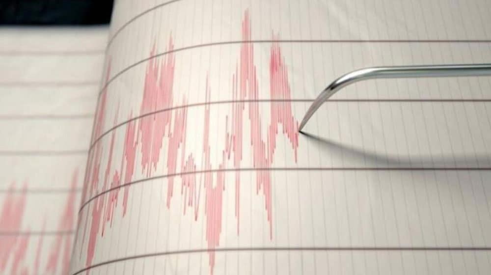
A significant 5.8-magnitude earthquake struck northwestern Kashmir on January 19, 2026. This powerful tremor triggered substantial rockfalls and suspected landslides across Gilgit-Baltistan. The region’s steep terrain is particularly vulnerable to slope failures after seismic activity. Consequently, the Gilgit-Baltistan earthquake had immediate and concerning impacts on the local landscape and communities. This event underscores the critical need for robust disaster preparedness.
Understanding the Gilgit-Baltistan Earthquake and its Immediate Impact
Officials quickly shared initial details about the quake. They reported that the tremor occurred at 11:21 AM. Its epicenter was located at a shallow depth of just 10 kilometers. The epicenter’s exact coordinates were recorded in northwestern Kashmir, specifically near 36.80°N latitude and 74.42°E longitude. Furthermore, residents felt the widespread shaking across Gilgit-Baltistan (GB), Islamabad, and various parts of Khyber Pakhtunkhwa. This included major cities like Peshawar and its surrounding districts.

Specifically, in mountainous belts like the Hunza and Nagar valleys, the earthquake reportedly loosened debris. This debris then tumbled down steep slopes, causing immediate concern for potential future landslides, particularly near roadside stretches. Online footage soon emerged, visually confirming the instability. These videos depicted significant dust clouds rising from hillsides as rocks and earth rapidly slid downwards, highlighting the tremor’s severe aftermath.
Geological Vulnerability: Why Gilgit-Baltistan is Prone to Earthquakes and Landslides
Gilgit-Baltistan is strategically located along the active boundary of the Indian and Eurasian tectonic plates. This geological position inherently makes the region highly prone to earthquakes and various related hazards. Consequently, even moderate seismic events in such terrain can trigger dangerous secondary impacts. These include significant landslides, which can severely disrupt traffic, damage critical infrastructure, and unfortunately, isolate entire communities.
گلگت بلتستان میں زلزے کے بعد مختلف علاقوں میں لینڈ سلائیڈنگ شروع۔@javerias #Gilgitbaltistan #Earthquake https://t.co/BrbzsJfLFM pic.twitter.com/xYTdRHLcAz
— Roshan Din Diameri (@Rohshan_Din) January 19, 2026
Staying Safe After a Gilgit-Baltistan Earthquake: Essential Precautions
Therefore, residents and travelers within these landslide-prone areas receive consistent advice: remain extremely cautious following any tremors. Weakened slopes often continue to shed rocks and debris. This can occur during subsequent aftershocks or even with minor vibrations, posing ongoing risks. It is imperative to heed local warnings and avoid unstable areas to ensure personal safety. The recent Gilgit-Baltistan earthquake serves as a stark reminder of these ongoing dangers.


